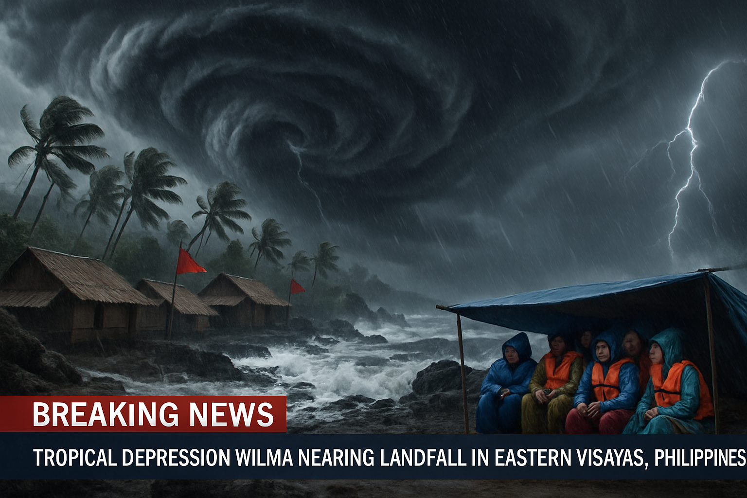
Tropical Depression Wilma is nearing Eastern Visayas, raising risks of floods and landslides from heavy rain. PAGASA forecasts possible landfall between Friday evening and Saturday morning. Wind Signal No. 1 has been raised over more than 20 areas.
As of 7 a.m. on Friday, December 5, 2025, the center of Tropical Depression Wilma was located 235 kilometers east of Borongan City, Eastern Samar, moving southwestward at 15 km/h. It maintained maximum sustained winds of 45 km/h with gusts up to 55 km/h. The Philippine Atmospheric, Geophysical, and Astronomical Services Administration (PAGASA) stated that Wilma might make landfall or pass close to Eastern Visayas or Dinagat Islands between Friday evening, December 5, and Saturday morning, December 6. Afterward, it is forecast to cross the Visayas until Sunday, December 7, emerge over the Sulu Sea, and move over the northern portion of Palawan by Monday morning, December 8.
PAGASA expects Wilma to remain a tropical depression throughout the forecast period, though slight intensification is possible before landfall. It is bringing considerable rain to much of the Visayas, Caraga, and Northern Mindanao. On December 5, heavy to intense rain (100-200 mm) is forecast for Northern Samar, Eastern Samar, Samar, Biliran, Leyte, and Southern Leyte, while moderate to heavy rain (50-100 mm) affects Cebu, Bohol, Negros Oriental, Negros Occidental, Siquijor, Guimaras, Iloilo, Capiz, Surigao del Norte, Dinagat Islands, Agusan del Norte, Misamis Oriental, Camiguin, Lanao del Norte, and Misamis Occidental. Similar rainfall patterns continue on December 6 and 7 in various areas.
Wind Signal No. 1 has been raised over more than 20 areas, including the southern part of mainland Masbate, Northern Samar, Eastern Samar, Samar, Biliran, Leyte, Southern Leyte, Cebu including Bantayan and Camotes Islands, Bohol, northern and central parts of Negros Occidental and Negros Oriental, Siquijor, eastern parts of Iloilo and Capiz, Guimaras, Surigao del Norte including Siargao and Bucas Grande Islands, Dinagat Islands, northern Surigao del Sur, northern Agusan del Norte, and Camiguin. These areas may experience minimal to minor impacts from strong winds, which could be stronger in coastal and upland communities.
The northeast monsoon is also causing strong to gale-force gusts in most of Luzon and Visayas. Sea conditions remain dangerous, with very rough seas along the northern and eastern seaboards of Catanduanes and Northern Samar, where waves could reach 5.5 meters.
In response, classes have been suspended on December 5 in numerous areas, including all of Albay, several municipalities in Camarines Sur, Catanduanes, Masbate, Sorsogon, Bohol, Cebu province and cities, Biliran, Leyte, Samar provinces, Southern Leyte, Negros Occidental and Oriental, and others in the Visayas and Mindanao. Wilma is the Philippines' 23rd tropical cyclone of 2025 and the first in December. Meanwhile, the shear line continues to bring moderate to intense rain to Bicol region provinces and parts of Southern Luzon.

