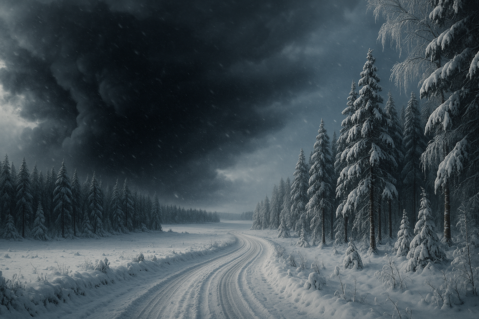
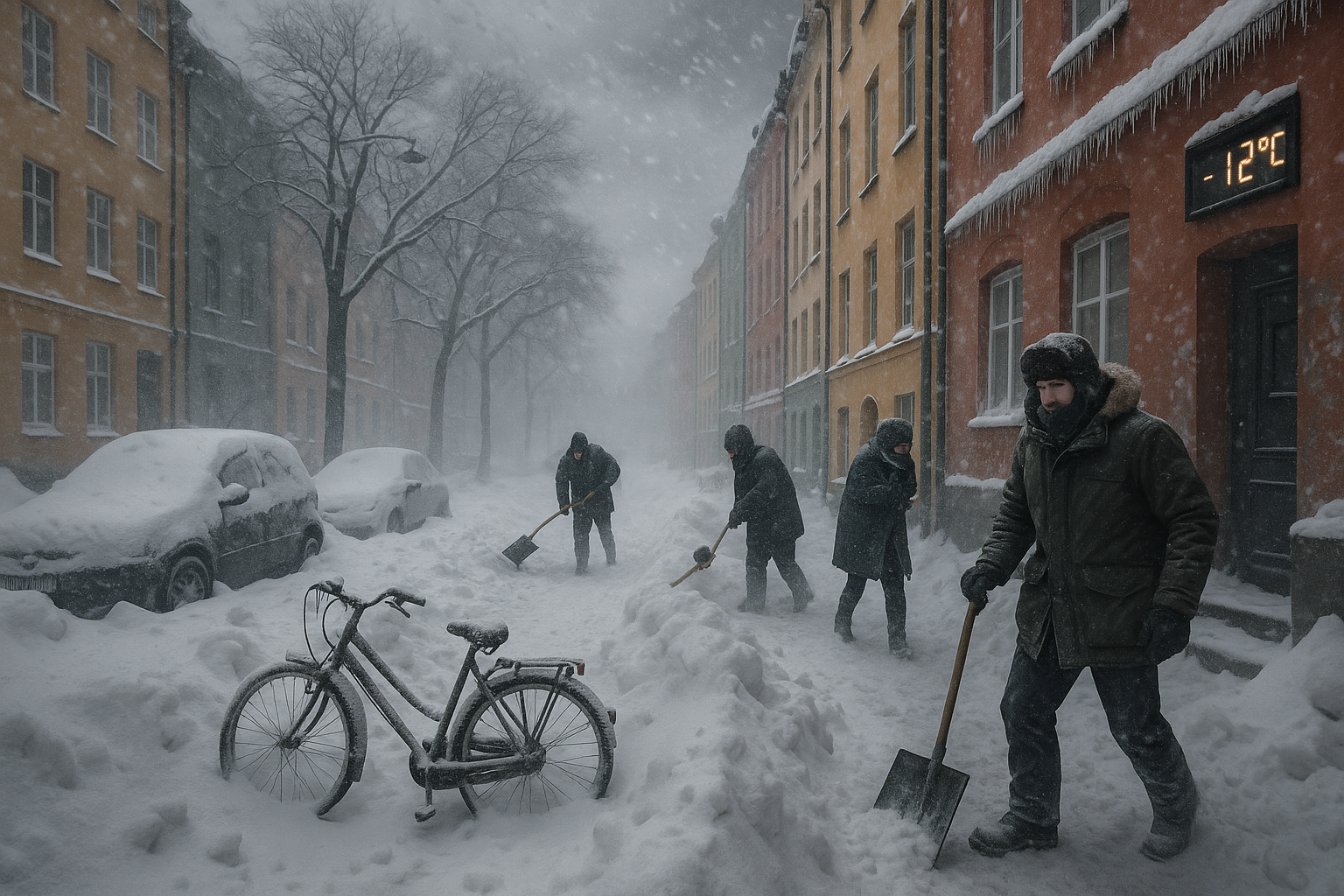
As remnants of Storm Anna bring continued snowfall into mid-week, a new low-pressure system threatens heavy snow in western regions, while SMHI forecasts high pressure bringing nationwide cold and a potential ice day over the weekend.
Following Storm Anna's initial heavy snow, winds, power outages, and the ensuing Arctic cold with Monday snow warnings in southern areas, Sweden faces further disruptions. Remnants of the storm are causing snowfall in Svealand and Norrland through Wednesday, due to warm air meeting cold air, though easing.
Yellow warnings for heavy snow showers persist: Gävleborg, parts of Dalarna, eastern Härjedalen, and southeastern Västernorrland until 4 PM Wednesday; northern Stockholm and Uppsala overnight. From late Wednesday to Friday noon, intermittent heavy snow hits Västernorrland, eastern Västerbotten, eastern Jämtland, and northern Gävleborg.
A new low-pressure system from the west prompts a yellow warning for northwestern Götaland and southwestern Svealand from 5 PM Wednesday to 10 AM Thursday, with up to 25 cm of heavy, wet snow locally, plus windy conditions near Lakes Vänern and Vättern.
Post-Friday, high pressure brings dry, cold weather nationwide, with sub-zero temperatures possible even in Skåne. SMHI meteorologist Toni Fuentes notes a chance for a rare national ice day (24 hours below freezing everywhere), though southern coasts may hover near zero. "It happens about every other year," Fuentes said.
Snow has already caused accidents, traffic issues, and 600 KLM flight cancellations. Rescue services prepare for worsening. Storm Goretti will bypass Sweden, heading south.

