France braces for lasting cold and lowland snow at start of 2026

France faces below-seasonal temperatures in the first days of 2026, with a lowland snow episode expected from this weekend. Many departments, including Paris, have activated the grand froid plan amid this persistent winter weather. Negative minima and low maxima will characterize New Year's under a lasting cold regime.

For several days, very low temperatures have led to the activation of the grand froid plan in many departments, including Paris and the surrounding region since this Sunday. France will begin 2026 under a lasting cold spell, with temperatures generally 3 to 4°C below seasonal normals, according to La Chaîne Météo.

This Monday morning, thermometers showed between -5 and -7°C across the northern half of the country, and up to -10°C in rural areas. Minima will remain negative all week, between -3 and -7°C, reaching -8 to -10°C in the Nord-Est and Massif central. Maxima will struggle to exceed 0 to 3°C in the North, compared to 5 to 10°C in the south. New Year's Day promises to be particularly cold, with a national average near 0°C, similar to late 2016 conditions.

The weather will stay dry and sunny over much of the country, though persistent fogs may affect the South-West and North-East. New Year's Eve night will be freezing, with widespread negative temperatures. These winter conditions will continue until the weekend.

From Thursday, cold air from Scandinavia will slide over the north, accompanied by light snow precipitation in the Nord-Est. A depression off the Iberian peninsula will bring milder air up from the south, creating a clash of air masses. This could lead to abundant precipitation and a risk of lowland snow, mainly in the North, center, and east of the country, notes Météo France.

"This cold could well be accompanied by humidity, with a high risk of a lowland snow episode in France, expected for the first weekend of the year," confirms La Chaîne Météo. The exact location and intensity remain uncertain, and forecasters urge following updates. Early 2026 will feature classic winter weather, with persistent frosts and clear skies, temperatures rising slightly but still below averages in the northern half. Maxima are expected to decrease further over the weekend, adds Météo-France.
Liittyvät artikkelit

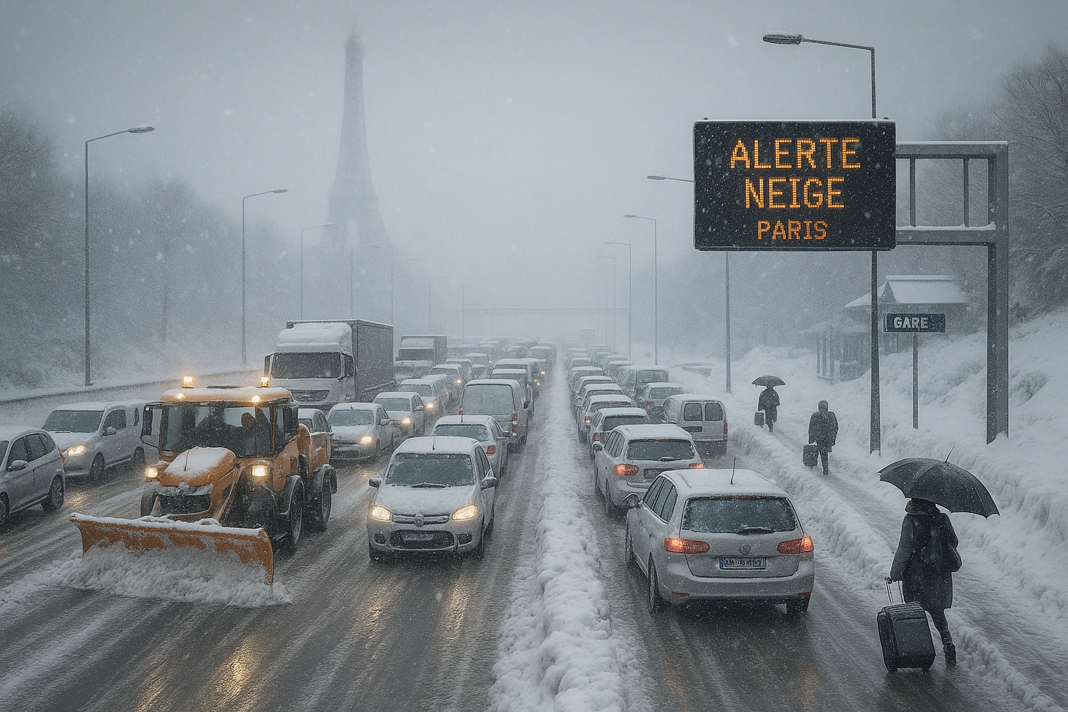
Snow-covered Paris highway gridlocked with stranded vehicles during France's intense cold wave, Eiffel Tower in snowy background.
AI:n luoma kuva

France cold wave: Widespread transport chaos as snow blankets west and Paris region

Raportoinut AI AI:n luoma kuva

Following initial alerts and school closures in western France, the polar cold wave intensified on January 5, 2026, blanketing the west and Paris basin with heavy snow. Twenty-six departments on orange alert faced massive road, rail, and air disruptions, with authorities warning of slippery roads persisting into Tuesday.

Weather forecasts for Christmas 2025 in France predict possible light snow in several regions due to a cold drop from Central Europe. The weather is set to be particularly chilly, the coldest since 2010. Models differ on the affected areas and amounts.

Raportoinut AI

An intense snow offensive hits France on Wednesday, with 38 departments on orange alert for snow and ice. Transport Minister Philippe Tabarot advises avoiding travel in Île-de-France and favoring telework. Deadly accidents and transport disruptions already mark the current episode.

Much of South Africa is forecast to see above-normal rainfall and fewer hot days in 2026, driven by weak La Niña conditions. This shift could benefit agriculture but heightens flood risks in interior provinces. Recent wet weather has already caused deaths and damage in KwaZulu-Natal and Gauteng.

Raportoinut AI

The National Water Commission (Conagua) announced the arrival of Mexico's second winter storm, accompanied by cold front number 27, starting Saturday. Temperatures could drop to -10 degrees Celsius, with intense rains and possible sleet in various regions until Monday, January 12. The storm will mainly impact mountainous areas with frosts and heavy showers.

Delhi recorded the season's lowest minimum temperature of 4.6°C on Friday, accompanied by surprise rain in the national capital and nearby areas like Noida and Gurugram. Dense fog persisted, intensifying the chill.

Raportoinut AI

Poikkeuksellisen pitkä korkeapaineen salpaus pitää kylmän paikallaan koko Ruotsissa tulevalla viikolla. Lämpötilojen odotetaan olevan erittäin alhaisia, ja lämmintä vaatetusta suositellaan. Ilmiötä kuvataan «kuvioksi», joka pitää lämmön ulkona.


Tämä verkkosivusto käyttää evästeitä

Käytämme evästeitä analyysiä varten parantaaksemme sivustoamme. Lue tietosuojakäytäntömme tietosuojakäytäntö lisätietoja varten.
Hylkää