Photo illustrating the destruction caused by Typhoon Tino in the Visayas, with flooded areas, damaged homes, and ongoing recovery operations.
AI द्वारा उत्पन्न छवि

Typhoon Tino exits PAR after causing widespread destruction

AI द्वारा उत्पन्न छवि

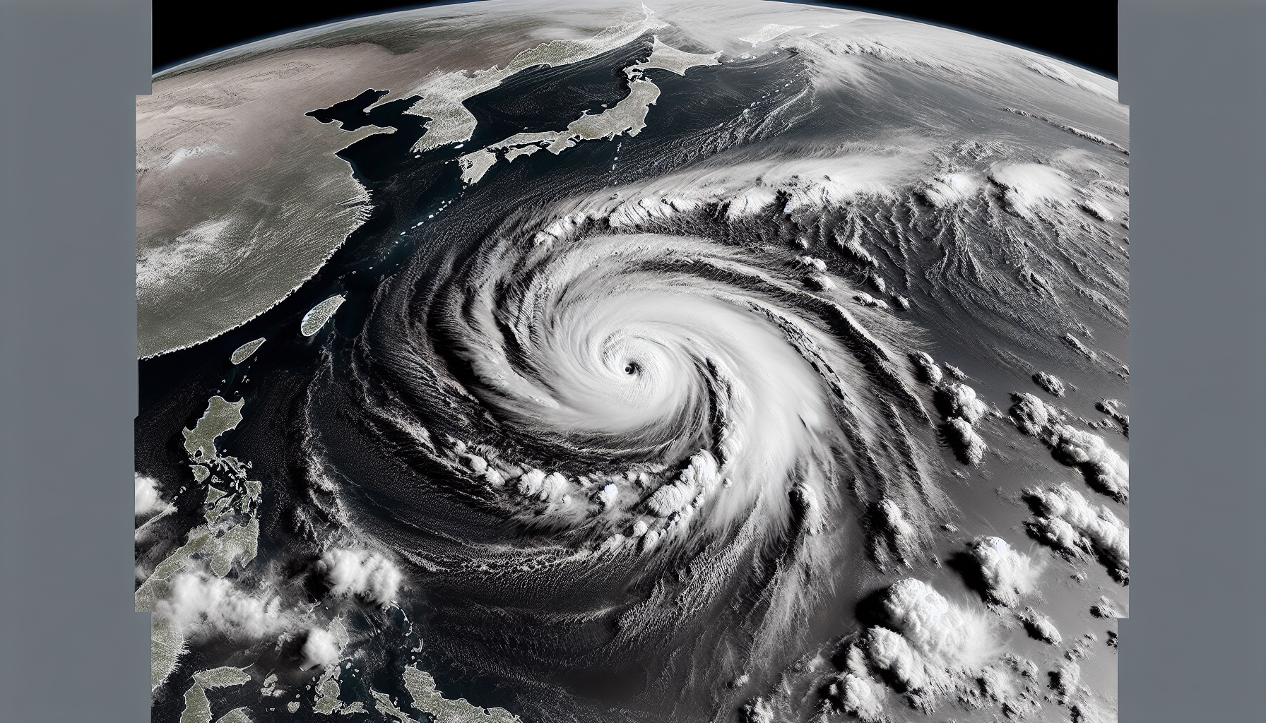
Typhoon Tino (Kalmaegi) exited the Philippine Area of Responsibility (PAR) early Thursday, November 6, 2025, after leaving a trail of deaths and destruction in the Visayas and Mindanao. PAGASA reports it continues to weaken while heading toward Vietnam, though Signal No. 1 remains in effect for the Kalayaan Islands. The government is swiftly responding to recovery efforts in affected areas.

Typhoon Tino (Kalmaegi) exited the Philippine Area of Responsibility (PAR) at 12:30 a.m. on November 6, 2025, after entering as a tropical storm on November 2, according to PAGASA. As of 4 a.m., it was located 265 kilometers north northwest of Pag-asa Island, Kalayaan, Palawan, moving west northwest at 35 km/h toward Vietnam. Its maximum sustained winds reached 155 km/h, with gusts up to 190 km/h, but it may weaken before striking central Vietnam.

The highest wind signal raised was No. 4 during its peak. It made eight landfalls: first in Silago, Southern Leyte on November 4 (12 a.m.), then Borbon, Cebu (5:10 a.m.), Sagay City, Negros Occidental (6:40 a.m.), San Lorenzo, Guimaras (11:10 a.m.), Iloilo City (1:20 p.m.), Magsaysay, Cuyo Islands, Palawan (7:30 p.m.); and on November 5, Batas Island, Taytay, Palawan (4:10 a.m.) and El Nido, Palawan (4:40 a.m.).

Local reports indicate at least 150 deaths, including 99 in Cebu province, 9 in Cebu City, 24 in Negros Occidental, 12 in Negros Oriental, and 6 in Agusan del Sur—though other accounts cite 66 fatalities. In education, 64 classrooms were destroyed, 91 suffered major damage, and 237 had minor damage in the Visayas and Mindanao, per the Department of Education. Classes were suspended in 20,681 schools across various regions, with P2.11 million allocated for cleanup and P11.6 million for minor repairs.

Agriculture saw 33,000 hectares of corn affected, potentially causing shortages, while rice supplies remain stable. The Department of Agriculture allocated P255 million for farm inputs. Power outages hit 1.4 million households, mainly in the Visayas, affecting 53 electric cooperatives.

The DSWD provided P69.45 million in humanitarian aid, including 123,000 family food packs. An emergency cash transfer program is being prepared. The United States, Canada, and Australia have offered assistance. PAGASA continues monitoring Tropical Storm Fung-wong and potential Cyclone Uwan.

संबंधित लेख

Satellite image of Tropical Storm Tino entering the Philippine Area of Responsibility, showing swirling clouds and ocean waves approaching Eastern Visayas and Caraga.
AI द्वारा उत्पन्न छवि

Tropical storm Tino enters Philippine area of responsibility

AI द्वारा रिपोर्ट किया गया AI द्वारा उत्पन्न छवि

Tropical Storm Tino, internationally known as Kalmaegi, entered the Philippine Area of Responsibility (PAR) at 5:30 a.m. on November 2, 2025. It is the country's 20th tropical cyclone this year and the first in November. The storm is expected to intensify into a typhoon and impact Eastern Visayas and Caraga soon.

A tropical depression outside the Philippine Area of Responsibility has strengthened into Tropical Storm Fung-wong. It was located 1,715 kilometers east of northeastern Mindanao early Thursday. The storm is expected to enter the PAR as a typhoon in the coming days.

AI द्वारा रिपोर्ट किया गया

The death toll from Typhoon Tino has reached 224, with 135 still missing, according to the National Disaster Risk Reduction and Management Council. President Marcos expressed deep sorrow during a visit to Cebu, as the government probes flood control projects that failed to prevent devastating floods. Cebu suffered the most, with 139 fatalities.

Severe Tropical Storm Verbena strengthened on November 26, 2025, as it moved westward over the West Philippine Sea, away from Palawan. The Philippine Atmospheric, Geophysical, and Astronomical Services Administration reported maximum sustained winds of 95 kilometers per hour. While the storm no longer causes significant rainfall, the shear line continues to bring heavy rain to parts of Luzon.

AI द्वारा रिपोर्ट किया गया

Tropical Cyclone Wind Signal No. 1 remains in effect over 15 areas as Tropical Storm Ada slowly tracks north-northwestward over the Philippine Sea east of Eastern Visayas, state weather bureau PAGASA said on January 16.

PAGASA is not ruling out landfall for Tropical Depression Ada in Eastern Visayas and Bicol, though its track may keep it offshore. It was located 420 kilometers east of Surigao City on January 15, 2026, and could strengthen into a tropical storm that day. Considerable rain is expected in Caraga, Eastern Visayas, and Bicol.

AI द्वारा रिपोर्ट किया गया

The Philippine Atmospheric, Geophysical, and Astronomical Services Administration (PAGASA) has announced the list of local names for tropical cyclones that may enter the Philippine Area of Responsibility in 2026. Ada is among the new names to be used for the first time. The list draws from regular and auxiliary sets cycled every four years.


यह वेबसाइट कुकीज़ का उपयोग करती है

हम अपनी साइट को बेहतर बनाने के लिए विश्लेषण के लिए कुकीज़ का उपयोग करते हैं। अधिक जानकारी के लिए हमारी गोपनीयता नीति पढ़ें।
अस्वीकार करें