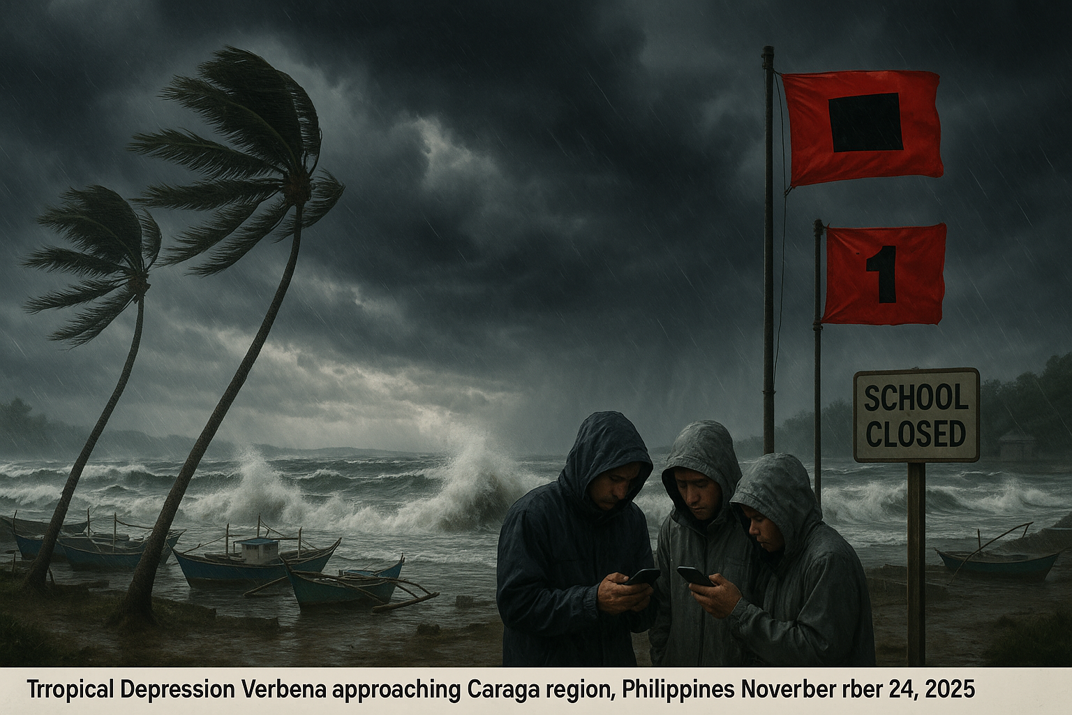
Dramatic coastal scene of Tropical Depression Verbena nearing Caraga, Philippines, with stormy seas, moored boats, wind-bent palms, and residents heeding PAGASA warnings.
Immagine generata dall'IA

Tropical depression Verbena approaches Caraga with warnings

Immagine generata dall'IA

Authorities in Dinagat Islands and Surigao del Norte suspended most sea travel and classes on November 24, 2025, as Tropical Depression Verbena neared the Caraga region. The system, packing winds of 45 kilometers per hour, was expected to make landfall later that day. PAGASA raised Tropical Cyclone Wind Signal No. 1 over several areas, urging vigilance against floods and landslides.

On Monday, November 24, 2025, Tropical Depression Verbena slowed to 15 kilometers per hour as it moved westward, located 205 kilometers east-southeast of Surigao City in Surigao del Norte by 10 a.m. The depression maintained maximum sustained winds of 45 kph with gusts up to 55 kph, according to the Philippine Atmospheric, Geophysical and Astronomical Services Administration (PAGASA). Earlier, at 7 a.m., it was estimated 290 kilometers east of Surigao City and moving at 20 kph, highlighting its gradual approach.

PAGASA forecasted landfall in the Caraga region that afternoon or evening, followed by traversal across the Visayas and northern Palawan through Tuesday, November 25, before emerging over the West Philippine Sea on Wednesday morning, November 26. The system could slightly intensify before landfall but was likely to remain a depression while crossing landmasses, potentially reaching tropical storm strength over the West Philippine Sea and peaking as a severe tropical storm.

In response, the Philippine Coast Guard halted most sea voyages to and from Dinagat Islands and storm-affected parts of Mindanao after PAGASA raised Signal No. 1 over Dinagat Islands and Surigao del Norte at 5 a.m. Exceptions applied to roll-on/roll-off vessels on the main supply route to Surigao City, limited to daylight hours, no passengers except cargo drivers, no dangerous goods, vessels over 300 gross tons, and cargo not exceeding 75% capacity, under conditions of calm seas and good visibility.

Class suspensions were ordered in Dinagat Islands municipalities of San Jose, Loreto, and Libjo due to risks of flooding and landslides from persistent heavy rain. In Surigao del Norte, Governor Lyndon Barbers authorized localized suspensions in Siargao and Bucas Grande Islands, deferring to local governments. By 11 a.m., Signal No. 1 expanded to include areas in Luzon such as Occidental and Oriental Mindoro, Romblon, northern Palawan; Visayas regions like Masbate, Antique, Aklan, Capiz, Iloilo, Guimaras, Negros Occidental and Oriental, Siquijor, Bohol, Samar, Eastern Samar, Biliran, Leyte, Southern Leyte; and Mindanao spots including Dinagat Islands, Surigao del Norte and northern Surigao del Sur, Agusan del Norte, northern Agusan del Sur, Camiguin, and eastern Misamis Oriental.

Verbena, the 22nd tropical cyclone of 2025 and third in November after Typhoon Tino and Super Typhoon Uwan, brought heavy to intense rainfall (100-200 mm) to eastern Visayas, parts of Western Visayas, Bicol, and Caraga within 24 hours, with moderate to heavy rain (50-100 mm) in additional areas. PAGASA warned of possible floods and landslides, while sea conditions ranged from rough to very rough in affected seaboards.

Cosa dice la gente

X discussions feature neutral updates from PAGASA, meteorologists, and news outlets on Tropical Depression Verbena's approach to Caraga, maintaining 45 kph winds, expected landfall in Surigao del Sur, and Tropical Cyclone Wind Signal No. 1. Local responses include sea travel suspensions in Dinagat Islands and Surigao del Norte, class cancellations, and calls for vigilance against floods and landslides. No significant diverse sentiments or skepticism observed.

Articoli correlati

Realistic depiction of Tropical Depression Verbena striking Guimaras and Iloilo coasts with heavy rain, winds, and waves.
Immagine generata dall'IA

Tropical depression verbena makes landfalls in guimaras and iloilo

Riportato dall'IA Immagine generata dall'IA

Tropical Depression Verbena made landfalls in Guimaras and Iloilo on Tuesday morning, November 25, 2025, following earlier strikes in Cebu and Negros Oriental. PAGASA reported it moving west-northwest toward the Sulu Sea and near Palawan. It is expected to strengthen into a tropical storm as it nears northern Palawan.

Severe Tropical Storm Verbena strengthened on November 26, 2025, as it moved westward over the West Philippine Sea, away from Palawan. The Philippine Atmospheric, Geophysical, and Astronomical Services Administration reported maximum sustained winds of 95 kilometers per hour. While the storm no longer causes significant rainfall, the shear line continues to bring heavy rain to parts of Luzon.

Riportato dall'IA

Tropical Depression Wilma is nearing Eastern Visayas, raising risks of floods and landslides from heavy rain. PAGASA forecasts possible landfall between Friday evening and Saturday morning. Wind Signal No. 1 has been raised over more than 20 areas.

Tropical Storm Tino, internationally known as Kalmaegi, entered the Philippine Area of Responsibility (PAR) at 5:30 a.m. on November 2, 2025. It is the country's 20th tropical cyclone this year and the first in November. The storm is expected to intensify into a typhoon and impact Eastern Visayas and Caraga soon.

Riportato dall'IA

Super Typhoon Uwan (Fung-wong) intensified into a super typhoon early Sunday morning, prompting Signal No. 5 in Catanduanes and parts of the Bicol region. Landfall is expected in Catanduanes in the morning or Aurora in the evening, with strong winds and heavy rain. PAGASA warned of floods, landslides, and storm surges in many areas.

A severe storm with rain and gale-force winds, named Claudia, is approaching the Canary Islands and affecting Swedish travelers. The Swedish embassy urges following local authorities' advice and staying informed. Schools are closing and roads are being blocked due to the impending storm.

Riportato dall'IA

Super Typhoon Uwan has claimed at least seven lives and left two people missing in the Cordillera Administrative Region, primarily due to landslides triggered by heavy rains and strong winds. Local officials reported the casualties on November 11, 2025, as assessments continue in remote areas hampered by blocked roads and power outages. While the typhoon has exited the Philippine Area of Responsibility, intermittent rain persists, raising fears of secondary landslides.


Questo sito web utilizza i cookie

Utilizziamo i cookie per l'analisi per migliorare il nostro sito. Leggi la nostra politica sulla privacy per ulteriori informazioni.
Rifiuta