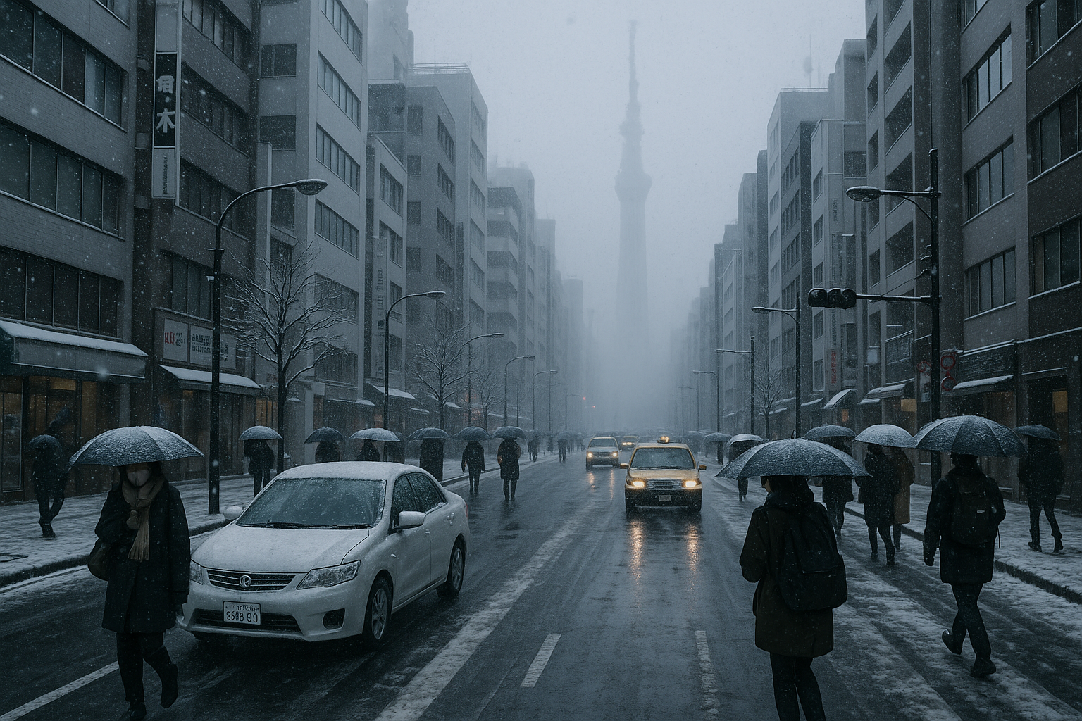
Following earlier warnings, heavy snow accumulated Thursday morning along the Sea of Japan side from northern Japan to Chugoku, with advisories for Ishikawa and Shiga prefectures. The winter pressure pattern is set to continue until Sunday, per the Japan Meteorological Agency.
The ongoing severe winter weather, which began intensifying January 21, 2026—the season's coldest day so far—delivered heavy snowfall from Wednesday night through Thursday morning. In Sapporo, residents bundled up against the snow, while the agency highlighted risks even in non-mountainous areas.
Accumulations reached 68 cm in 24 hours up to 9 a.m. Thursday in Tokamachi, Niigata Prefecture, and 57 cm in Myoko, also in Niigata. Snow depths stood at 20 cm in Kanazawa (286% of average) and 28 cm in Hikone, Shiga Prefecture (933% of average).
Transport disruptions mounted: The Tokaido Shinkansen ran at reduced speeds from its first Thursday run between Gifu-Hashima and Kyoto, delaying services over 30 minutes. As of 7 a.m. Thursday, seven expressways—including Hokuriku and Meishin—plus national highways in Gifu and Shiga remained closed, according to the Ministry of Land, Infrastructure, Transport and Tourism.
The agency continues to urge caution amid multi-day wintry conditions.
