SMHI

Multiple forest fires erupt across Sweden amid ongoing SMHI warnings
AI에 의해 보고됨 AI에 의해 생성된 이미지
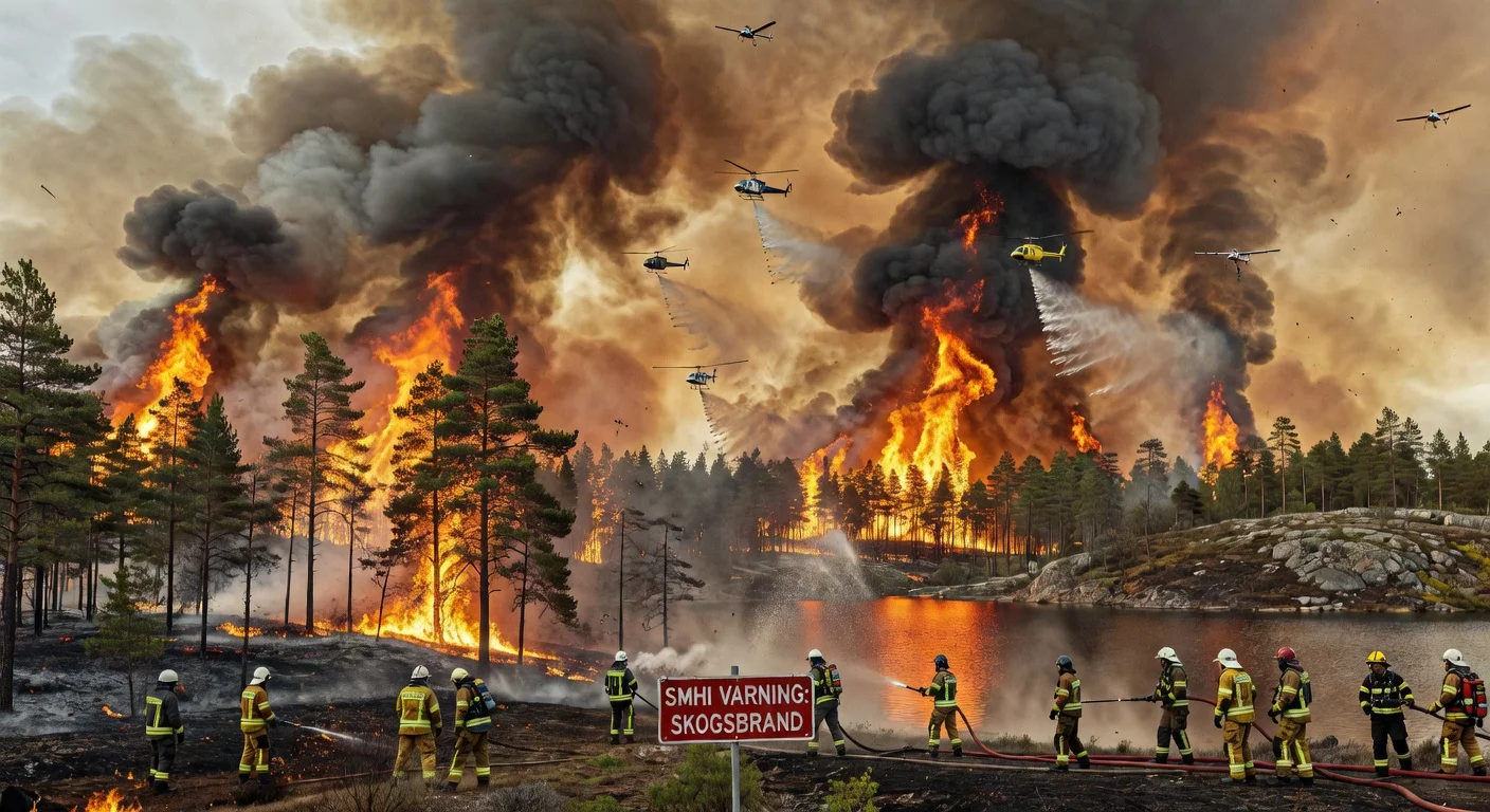
Following SMHI's forest fire risk warnings issued Friday, multiple blazes broke out across Sweden on Saturday, May 2. Fires reported in Gothenburg area, Årjäng, Uppsala, and elsewhere, with rescue services deploying aircraft and helicopters amid high risks in Götaland, Svealand, and parts of Norrland.
Nine fires were reported in the Örebro area on Friday. SMHI has now announced an elevated risk for forest fires. Emergency services battled several of the fires throughout the day.
AI에 의해 보고됨
SMHI warns of high forest fire risk in southern and central Sweden on Friday. The warning covers nearly all of Götaland and Svealand, except western coastal areas. Grass fire risks are also flagged for northern parts over the weekend.
After Storm Anna's heavy snow and winds earlier this week, an Arctic cold front now dominates Sweden, with SMHI forecasting sub-zero temperatures nationwide and fresh snowstorms in the south on Monday.
AI에 의해 보고됨
Storm Anna continues to grip Sweden into the weekend after battering Gävleborg on New Year's Day, prompting orange and yellow warnings from SMHI for heavy snow and drifting. Thousands of households there remain powerless from prior storm damage, with repairs stalled by fresh snowfall; conditions should ease from Monday.
Winter grips Sweden with cold air and snowfall from north to south over the coming week. Meteorologists warn of minus degrees at night across the country and recommend switching to winter tires. Snow showers are expected as early as the weekend in the north and later in the south.