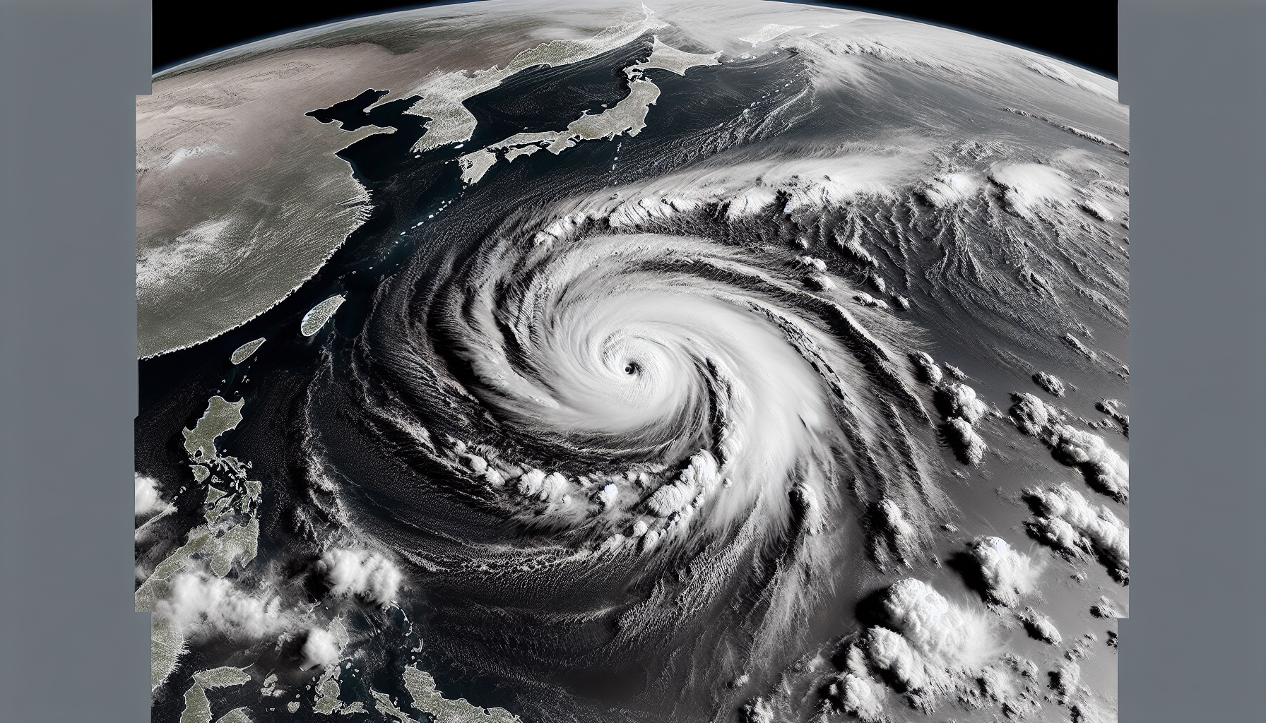
Satellite image of Tropical Storm Tino entering the Philippine Area of Responsibility, showing swirling clouds and ocean waves approaching Eastern Visayas and Caraga.
Bild genererad av AI

Tropical storm Tino enters Philippine area of responsibility

Bild genererad av AI

Tropical Storm Tino, internationally known as Kalmaegi, entered the Philippine Area of Responsibility (PAR) at 5:30 a.m. on November 2, 2025. It is the country's 20th tropical cyclone this year and the first in November. The storm is expected to intensify into a typhoon and impact Eastern Visayas and Caraga soon.

The Philippine Atmospheric, Geophysical, and Astronomical Services Administration (PAGASA) reported that Tropical Storm Tino entered the PAR at 5:30 a.m. on Sunday, November 2, after intensifying its maximum sustained winds from 65 km/h to 85 km/h, with gustiness up to 105 km/h. It was located more than 1,000 kilometers east of Eastern Visayas, moving west northwest at 15 km/h before entry. PAGASA expects it to become a severe tropical storm today, with winds of 89 to 117 km/h, and a typhoon by Monday morning, November 3.

Tino could make landfall as a typhoon in Eastern Visayas or Caraga on Monday evening or Tuesday morning, November 4. Afterward, it will cross much of the Visayas, the northern Sulu Sea, and northern Palawan, before exiting into the West Philippine Sea on Wednesday morning or afternoon, November 5. Signal No. 1 will be raised in Eastern Visayas and Caraga today, providing 36 hours of preparation time for strong winds.

For rainfall, heavy to intense amounts (100-200 mm) are forecast for Monday in Eastern Samar and Dinagat Islands, with moderate to heavy (50-100 mm) in Catanduanes, Albay, Sorsogon, Northern Samar, Samar, Leyte, Biliran, and Southern Leyte. On Tuesday, this will expand to Masbate, Cebu, Negros Occidental, Iloilo, and others, potentially causing floods and landslides. Today, Tino's trough is bringing scattered rain to Northern Samar, Eastern Samar, and Dinagat Islands.

Meanwhile, the shear line is causing scattered rain in the Cordillera Administrative Region, Cagayan Valley except Batanes, Aurora, and Quezon today, worsening on Monday in Cagayan, Isabela, Aurora, Quezon, Camarines Norte, and Camarines Sur. The northeast monsoon is affecting the Ilocos Region and Batanes with moderate to heavy rain. The rest of the country will see generally fair weather with localized thunderstorms.
Relaterade artiklar

Photo illustrating the destruction caused by Typhoon Tino in the Visayas, with flooded areas, damaged homes, and ongoing recovery operations.
Bild genererad av AI

Typhoon Tino exits PAR after causing widespread destruction

Rapporterad av AI Bild genererad av AI

Typhoon Tino (Kalmaegi) exited the Philippine Area of Responsibility (PAR) early Thursday, November 6, 2025, after leaving a trail of deaths and destruction in the Visayas and Mindanao. PAGASA reports it continues to weaken while heading toward Vietnam, though Signal No. 1 remains in effect for the Kalayaan Islands. The government is swiftly responding to recovery efforts in affected areas.

The Philippine weather bureau PAGASA warns that Tropical Storm Basyang (Penha) will bring moderate to torrential rains to parts of Caraga and Northern Mindanao from Thursday noon to Friday noon, potentially causing floods and landslides. As of 10 a.m. on Thursday, February 5, 2026, the storm was located 295 kilometers east of Hinatuan in Surigao del Sur, moving westward at 25 kilometers per hour.

Rapporterad av AI

Tropical Depression Wilma is nearing Eastern Visayas, raising risks of floods and landslides from heavy rain. PAGASA forecasts possible landfall between Friday evening and Saturday morning. Wind Signal No. 1 has been raised over more than 20 areas.

Typhoon Uwan (Fung-wong) intensified further as PAGASA raised Signal No. 2 over Catanduanes and parts of Samar Island at 5 a.m. on Saturday, November 8. It was located 985 kilometers east of Eastern Visayas with maximum sustained winds of 130 km/h. The storm is projected to become a super typhoon by Saturday evening or Sunday morning.

Rapporterad av AI

Severe Tropical Storm Verbena strengthened on November 26, 2025, as it moved westward over the West Philippine Sea, away from Palawan. The Philippine Atmospheric, Geophysical, and Astronomical Services Administration reported maximum sustained winds of 95 kilometers per hour. While the storm no longer causes significant rainfall, the shear line continues to bring heavy rain to parts of Luzon.

The Philippine Atmospheric, Geophysical and Astronomical Services Administration (PAGASA) has projected that two to eight tropical cyclones may develop or enter the country from January to June 2026. The forecast indicates relatively low cyclone activity in the first half of the year. This was presented by Ana Liza Solis during the 191st climate forum on Thursday.

Rapporterad av AI

In a continuation of recent forecasts, the northeast monsoon and easterlies are bringing light rains across the Philippines, with cloudy skies and isolated showers in various regions, PAGASA reported on Dec. 25. No major impacts are expected, though thunderstorms warrant caution.


Denna webbplats använder cookies

Vi använder cookies för analys för att förbättra vår webbplats. Läs vår integritetspolicy för mer information.
Avböj