Kenya met forecasts occasional rains in select areas amid dry weather

Kenya's Meteorological Department has issued a weather forecast from January 17 to 21, predicting occasional afternoon showers in Nairobi and other areas while much of the country remains hot and dry. Strong winds are also expected in several regions. Residents are advised to prepare for these changes.

Kenya's Meteorological Department has released its weather forecast covering Saturday, January 17 to Wednesday, January 21. In the update issued on Saturday, residents of Nairobi and the Highlands east of the Rift Valley are expected to experience sunny intervals in the mornings, with a possibility of light afternoon showers in some areas. Night skies will be partly cloudy, offering relief from daytime heat. Maximum temperatures in Nairobi and nearby counties are forecasted to reach 29°C, with minimums dropping to 7°C in the early mornings.

Western regions, including the Rift Valley, Lake Victoria Basin, and counties such as Kisumu, Nakuru, and Kericho, will see sunny mornings followed by light showers in the afternoons on Sunday and Monday. Daytime highs here are projected at 31°C, with lows of 7°C, and partly cloudy nights throughout the week.

North-western counties like Turkana and Samburu will continue to face hot and dry conditions, with maximums of 38°C and minimums around 17°C under sunny intervals day and night. The Highlands east of the Rift, including Nyeri, Meru, Embu, and Kiambu, will have occasional afternoon showers from Saturday to Monday before shifting to mainly sunny weather mid-week.

North-eastern counties such as Marsabit, Mandera, Wajir, Garissa, and Isiolo are set to remain mostly dry, though Garissa may experience brief afternoon showers on Saturday, with daytime temperatures peaking at 38°C and nights cooling to 16°C. Southeastern lowlands, encompassing Kitui, Machakos, Makueni, Kajiado, and Taita Taveta, will enjoy sunny mornings and occasional showers near Mount Kilimanjaro towards the week's end, with highs of 32°C and lows of 14°C.

The coastal areas, including Mombasa, Kilifi, Lamu, and Kwale, will mostly be sunny with light showers possible in some spots on Saturday afternoon, reaching 34°C during the day and 23°C at night. The department has warned of strong northeasterly to southeasterly winds exceeding 25 knots (12.5 m/s) over north-western, north-eastern, south-eastern lowlands, and coastal regions. Caution is advised for outdoor activities, small boat travel, and high-speed driving.
Artículos relacionados

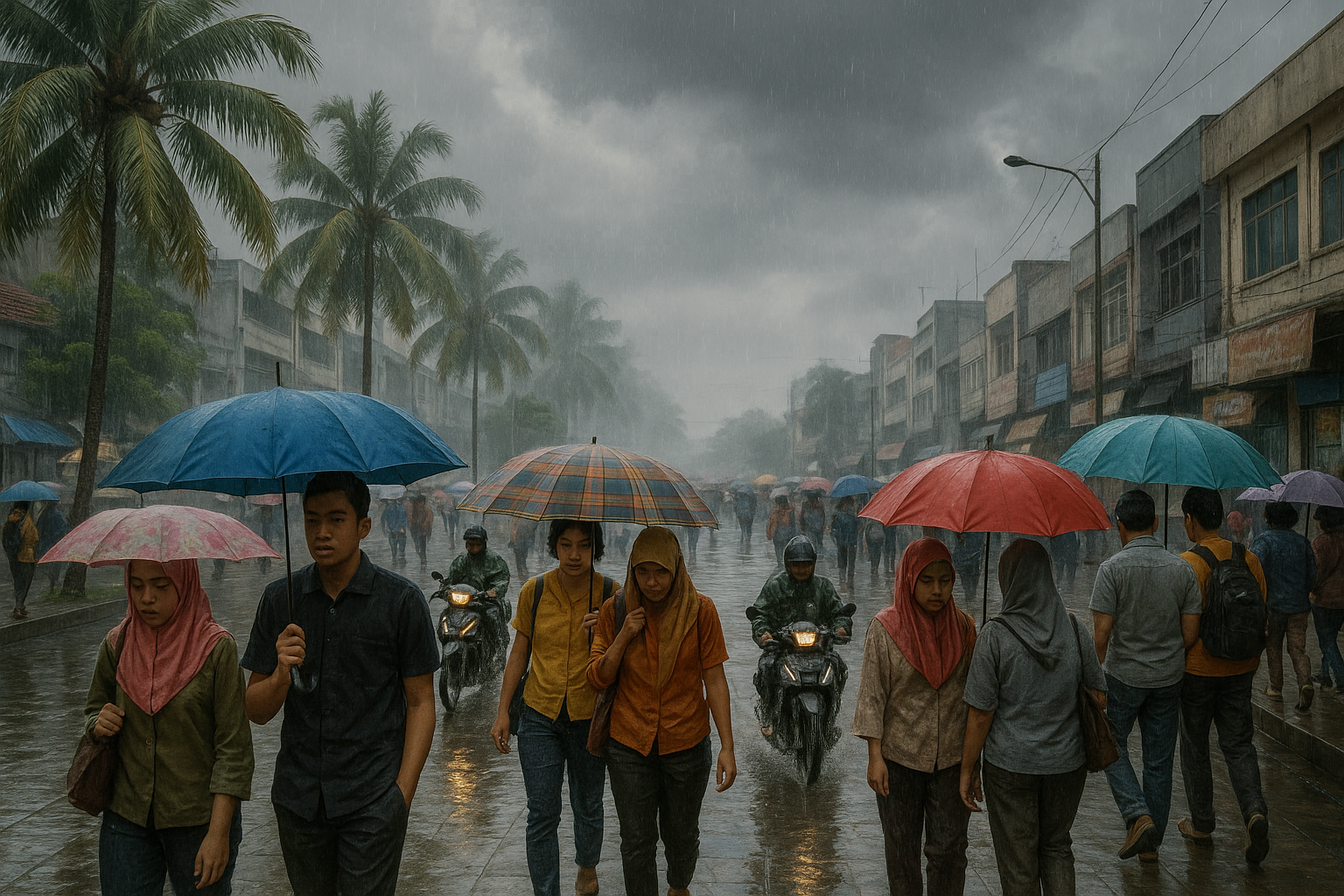
Light rain forecast across Indonesia: People with umbrellas on rainy streets amid potential thunderstorms.
Imagen generada por IA

BMKG prevé lluvias ligeras en la mayor parte de Indonesia el jueves

Reportado por IA Imagen generada por IA

La Agencia de Meteorología, Climatología y Geofísica (BMKG) prevé lluvias ligeras en la mayor parte de Indonesia el jueves (11 de diciembre de 2025). Se aconseja a los residentes llevar paraguas durante sus actividades. Las tormentas también representan un riesgo potencial en varias zonas.

The Kenya Meteorological Department has issued a five-day weather alert, warning of moderate to heavy rains across key regions, while also forecasting cold nights in the highlands and scorching daytime temperatures in northeastern counties starting Friday, December 12.

Reportado por IA

The Kenya Meteorological Department has issued a warning for heavy rains and potential flooding in 14 counties ahead of the new year. The rainfall is expected to start today and intensify until December 29. Residents are urged to prepare.

Varias partes del país pueden esperar tiempo lluvioso para inaugurar el Año Nuevo, según PAGASA el 1 de enero. El monzón del noreste afecta el norte y centro de Luzón, mientras que una línea de cizalla trae lluvia a MIMAROPA, Región de Bicol, Visayas Occidentales y Quezon.

Reportado por IA

El pronosticador Henokhvita de la Agencia de Meteorología, Climatología y Geofísica de Indonesia (BMKG) anunció a través de una emisión en Yakarta que lluvias de distintas intensidades dominarán la mayoría de las regiones el domingo 18 de enero de 2026. Son posibles tormentas en varias zonas; consulte bmkg.go.id o la app Info BMKG para actualizaciones.

Gran parte de Sudáfrica se prevé que registre precipitaciones por encima de la media y menos días calurosos en 2026, impulsado por condiciones débiles de La Niña. Este cambio podría beneficiar a la agricultura, pero aumenta los riesgos de inundaciones en las provincias interiores. El tiempo húmedo reciente ya ha causado muertes y daños en KwaZulu-Natal y Gauteng.

Reportado por IA

Las zonas de precipitaciones estivales de Sudáfrica, incluido Gauteng, han experimentado fuertes lluvias esta temporada y se prevé que sigan húmedas hasta finales del verano y principios del otoño. El Servicio Meteorológico de Sudáfrica predice precipitaciones por encima de lo normal en la mayoría de las regiones de enero a mayo, elevando los niveles de los embalses pero aumentando los riesgos de inundaciones. Aunque esto es favorable para el cultivo de maíz de verano, lluvias excesivas podrían reducir los rendimientos.


Este sitio web utiliza cookies

Utilizamos cookies para análisis con el fin de mejorar nuestro sitio. Lee nuestra política de privacidad para más información.
Rechazar