Realistic depiction of Tropical Depression Verbena striking Guimaras and Iloilo coasts with heavy rain, winds, and waves.
Imagem gerada por IA

Tropical depression verbena makes landfalls in guimaras and iloilo

Imagem gerada por IA

Tropical Depression Verbena made landfalls in Guimaras and Iloilo on Tuesday morning, November 25, 2025, following earlier strikes in Cebu and Negros Oriental. PAGASA reported it moving west-northwest toward the Sulu Sea and near Palawan. It is expected to strengthen into a tropical storm as it nears northern Palawan.

On November 25, 2025, Tropical Depression Verbena reached its sixth landfall in the Philippines. The initial strikes occurred on Monday: in Bayabas, Surigao del Sur at 1:30 p.m., and Jagna, Bohol at 11:10 p.m. On Tuesday, it made landfall in Talisay City, Cebu (2:40 a.m.), Vallehermoso, Negros Oriental (5:50 a.m.), San Lorenzo, Guimaras (7:40 a.m.), and Miagao, Iloilo (8:50 a.m.).

According to PAGASA's 11 a.m. bulletin, Verbena's center was off the coast of Antique, moving at 35 km/h toward the Sulu Sea. It had maximum sustained winds of 55 km/h and gusts up to 90 km/h. It is expected to pass near or over the Cuyo Islands in the afternoon and make landfall in northern Palawan in the evening. It may strengthen into a tropical storm near northern Palawan and further intensify in the West Philippine Sea on Wednesday.

Tropical Cyclone Wind Signal No. 1 was raised over areas including Occidental Mindoro, Oriental Mindoro, Romblon, northern and central Palawan including islands, mainland Masbate, Antique, Aklan, Capiz, Iloilo, Guimaras, Negros Occidental, and Negros Oriental. These may experience winds up to 61 km/h for up to 36 hours.

Significant rainfall is forecast: heavy to intense rain (100-200 mm) in Occidental Mindoro, Oriental Mindoro, Romblon, Palawan, Antique, Aklan, Capiz, Iloilo, and Guimaras from Tuesday noon to Wednesday noon. Moderate to heavy (50-100 mm) in Marinduque, Masbate, Negros Occidental, and Negros Oriental. Floods and landslides are possible in affected areas.

Additionally, the shear line is bringing rain to eastern Luzon, including heavy to intense rain in Cagayan, Isabela, Aurora, Quezon, and Camarines Norte. Verbena is the 22nd tropical cyclone of 2025 and the third in November after Typhoon Tino and Super Typhoon Uwan. It may exit the PAR early Thursday, November 27.

O que as pessoas estão dizendo

Discussions on X primarily consist of neutral updates from news outlets and meteorologists reporting Tropical Depression Verbena's landfalls in Guimaras and Iloilo, its movement toward Palawan, and local impacts like classroom flooding in Cebu. Reactions emphasize safety warnings, class suspensions, and forecasts with no strong positive, negative, or skeptical sentiments observed.

Artigos relacionados

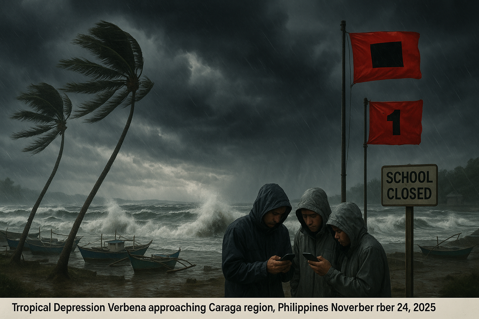
Dramatic coastal scene of Tropical Depression Verbena nearing Caraga, Philippines, with stormy seas, moored boats, wind-bent palms, and residents heeding PAGASA warnings.
Imagem gerada por IA

Tropical depression Verbena approaches Caraga with warnings

Reportado por IA Imagem gerada por IA

Authorities in Dinagat Islands and Surigao del Norte suspended most sea travel and classes on November 24, 2025, as Tropical Depression Verbena neared the Caraga region. The system, packing winds of 45 kilometers per hour, was expected to make landfall later that day. PAGASA raised Tropical Cyclone Wind Signal No. 1 over several areas, urging vigilance against floods and landslides.

Severe Tropical Storm Verbena strengthened on November 26, 2025, as it moved westward over the West Philippine Sea, away from Palawan. The Philippine Atmospheric, Geophysical, and Astronomical Services Administration reported maximum sustained winds of 95 kilometers per hour. While the storm no longer causes significant rainfall, the shear line continues to bring heavy rain to parts of Luzon.

Reportado por IA

Tropical Depression Wilma edged closer to Eastern Visayas on December 6, 2025, as PAGASA raised Signal No. 1 over 27 areas. It is the 23rd tropical cyclone to enter the Philippine Area of Responsibility this year. The system is forecast to make landfall in Eastern Visayas on Saturday and cross the Visayas until Sunday.

Tropical Storm Tino, internationally known as Kalmaegi, entered the Philippine Area of Responsibility (PAR) at 5:30 a.m. on November 2, 2025. It is the country's 20th tropical cyclone this year and the first in November. The storm is expected to intensify into a typhoon and impact Eastern Visayas and Caraga soon.

Reportado por IA

Tropical Cyclone Wind Signal No. 2 remains in effect over four provinces in Luzon as Tropical Storm Ada continues to bring gale-force winds and stormy weather over much of the Bicol Region, the Philippine Atmospheric, Geophysical and Astronomical Services Administration said yesterday.

Most parts of the Philippines may face rainy weather this week due to three weather systems, according to the Philippine Atmospheric, Geophysical and Astronomical Services Administration (PAGASA).

Reportado por IA

Super Typhoon Uwan has claimed at least seven lives and left two people missing in the Cordillera Administrative Region, primarily due to landslides triggered by heavy rains and strong winds. Local officials reported the casualties on November 11, 2025, as assessments continue in remote areas hampered by blocked roads and power outages. While the typhoon has exited the Philippine Area of Responsibility, intermittent rain persists, raising fears of secondary landslides.

quinta-feira, 05 de fevereiro de 2026, 04:49h

Tropical storm Basyang expected to bring heavy rains to Caraga and Northern Mindanao

sexta-feira, 16 de janeiro de 2026, 19:14h

Tropical storm Ada approaches Catanduanes with 85 km/h winds

quarta-feira, 14 de janeiro de 2026, 19:12h

PAGASA not ruling out landfall for Tropical Depression Ada

terça-feira, 13 de janeiro de 2026, 23:53h

Tropical Depression Ada forms east of Mindanao

sábado, 13 de dezembro de 2025, 17:42h

Pagasa: Amihan, easterlies to bring rains on December 14

sexta-feira, 05 de dezembro de 2025, 01:08h

Tropical Depression Wilma approaches Eastern Visayas

sábado, 08 de novembro de 2025, 09:07h

Super typhoon Uwan strengthens toward Luzon

sexta-feira, 07 de novembro de 2025, 09:25h

Typhoon Uwan strengthens, raises signal no. 2 in eastern Philippines

quarta-feira, 05 de novembro de 2025, 17:20h

Tropical storm Fung-wong intensifies outside PAR

quarta-feira, 05 de novembro de 2025, 15:44h

Typhoon Tino exits PAR after causing widespread destruction


Este site usa cookies

Usamos cookies para análise para melhorar nosso site. Leia nossa política de privacidade para mais informações.
Recusar