Catalan government activates alert for intense snowfalls in the Pyrenees

Catalonia's Civil Protection has activated the Neucat plan on alert phase due to intense snowfalls affecting the Pyrenees this Saturday. The snow level is above 800 meters, with accumulations exceeding 10 centimeters above 900 meters and up to half a meter from 1,500 meters. Drivers are urged to take extra precautions amid avalanche risks and road closures.

Intense snowfall has prompted Catalonia's Generalitat to activate the Neucat plan on alert phase, as reported by the Meteorological Service of Catalonia. This Saturday, the snow level stands above 800 meters, with forecasts of over 10 centimeters of accumulation above 900 meters and up to half a meter from 1,500 meters. The Vall d'Aran is the most affected area, followed by northern Pallars Sobirà, Alta Ribagorça, and Cerdanya.

Three roads are closed due to snow, and chains are required on more than thirty routes, including the C-28 between Naut Aran and Alt Àneu, the C-13 between Llavorsí and Esterri d'Àneu, and the N-141 from Bossòst to Coll del Portilló, among others. The Servei Català de Trànsit (SCT) lists these restrictions for safety. The Generalitat advises drivers to carry chains, keep fuel tanks full, wear warm clothing, and ensure phones are fully charged, while urging extra caution due to visibility issues.

Avalanche risk has increased “considerably,” triggering pre-alert phase for the Allaucat plan at level 4 out of 5. The most critical zones are Vall d'Aran and northern Pallars, owing to recent heavy snowfall. This threat will continue through the weekend, leading to closures of the final stretch of Port de la Bonaigua, BV-4024 at Coll del Pal, and GIV-4016 in Toses.

Additionally, the Vencat plan remains on pre-alert for wind gusts exceeding 90 km/h in the Pyrenees, Western and Eastern Pre-Pyrenees, Ponent, western Central Catalonia, Coast, and Southern Pre-Coastal areas.
Verwandte Artikel

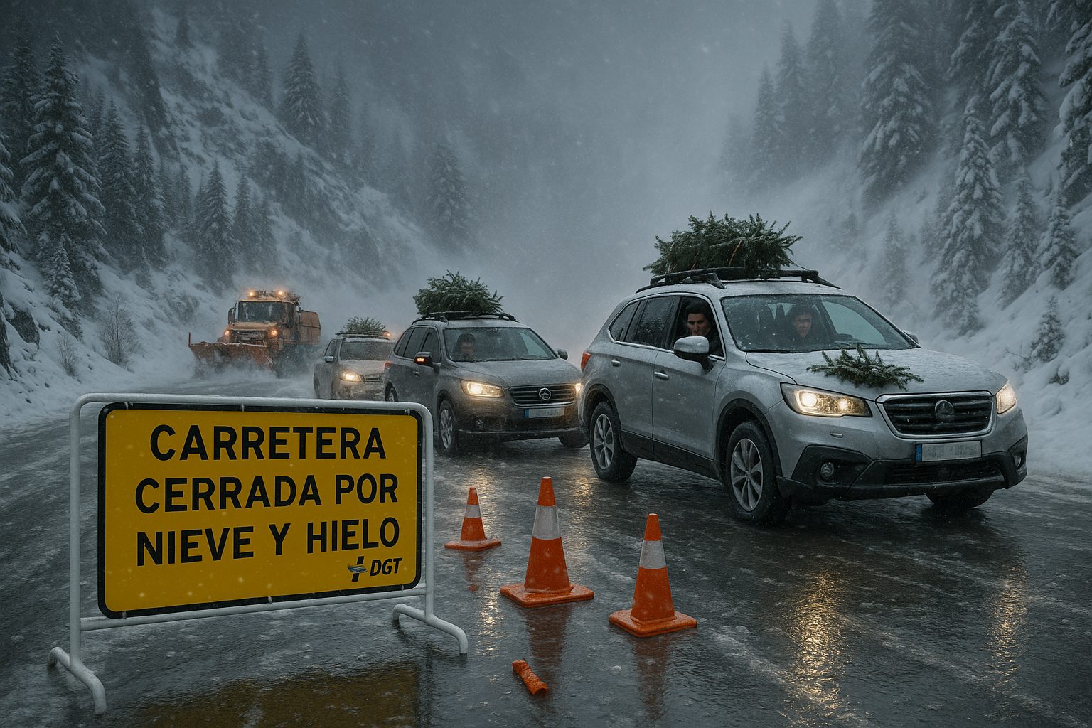
Snowy Spanish mountain road closed by ice and blizzards during Christmas traffic operation, with stranded vehicles and DGT barriers.
Bild generiert von KI

Update: 11 roads closed by snow and ice in Spain's Christmas traffic operation

Von KI berichtet Bild generiert von KI

Following earlier DGT warnings of snowfalls, 11 roads are now closed due to snow and ice storms affecting 41 routes across Andalucía, Asturias, Castilla y León, and Navarra on December 25. Aemet alerts cover six communities for snow, low temperatures, rough seas, and rain, as 8.5 million trips occur in the ongoing special traffic operation.

The State Meteorological Agency (Aemet) has activated yellow warnings for rain, snow, wind, and waves in seven provinces for this Saturday, January 3, 2026, while an Arctic air mass will arrive on Sunday, bringing snow at low altitudes and intense cold until Epiphany.

Von KI berichtet

Nach jüngsten Schneefällen ist die Lawinengefahr in den Alpen auf Stufe 4 von 5 gestiegen. Von den Allgäuer Alpen in Bayern bis zu den französischen Alpen warnen Experten für Sonntag vor spontanen Lawinen, die bei geringer Belastung oder von allein abgehen können. Fachleute fordern große Vorsicht und Zurückhaltung abseits der Pisten.

Acht französische Départements wurden wegen einer ab Mitternacht sonntags erwarteten Wetterstörung in Schne- und Glättewarnung versetzt. Die Regionen Bretagne und Normandie haben die Aussetzung der Schultransporte für Montag, den 5. Januar, angekündigt. Schneefälle von 3 bis 7 cm werden erwartet, mit erwarteten Verkehrsbehinderungen.

Von KI berichtet

Nach einem schneelosen Wochenbeginn fielen am Donnerstag Flocken über alle französischen Massivs. Die Prognosen sagen reichlichen Schneefall bis Sonntag voraus, was einen erfolgreichen Winter für die Bergorte einleitet. Von Val d'Isère bis zu den Pyrenäen freuen sich die Profis über diese rechtzeitige Rückkehr.

Der Nationale Wetterdienst hat Gelbwarnungen für Stürme in Formosa, Santa Fe, Misiones, Corrientes, Chaco und CABA für Samstag, den 17. Januar herausgegeben. Die Warnungen umfassen mögliche schwere Wetterbedingungen in den nächsten Stunden. Die Bewohner werden aufgefordert, auf Updates achtzugeben.

Von KI berichtet

Ein plötzlicher Hagel und ein Schauer aus gemischtem Schnee überraschten die Pariser Bewohner am frühen Nachmittag des Donnerstags, 20. November. Das kurze Ereignis verursachte keine größeren Störungen und passt in ein frühes Wintermuster in ganz Frankreich. Die Regierung fordert Autofahrer auf, für das bevorstehende Wochenende Vorsicht walten zu lassen.


Diese Website verwendet Cookies

Wir verwenden Cookies für Analysen, um unsere Website zu verbessern. Lesen Sie unsere Datenschutzrichtlinie für weitere Informationen.
Ablehnen