School transports suspended in Brittany and Normandy due to snow

Eight French departments have been placed on snow and black ice alert due to an expected weather perturbation starting from midnight Sunday. The regions of Brittany and Normandy have announced the suspension of school transports for Monday, January 5. Snowfalls of 3 to 7 cm are forecast, with circulation difficulties expected.

A polar cold wave descending from Scandinavia to Morocco, crossing Europe and France, is causing harsh winter conditions. In the eastern part of the country, temperatures will drop drastically on Monday, reaching between -5 and -15 °C at night, with negative daytime values until at least Wednesday, according to La Chaîne Météo.

Eight departments are on snow and black ice alert: Seine-Maritime, Eure, Calvados, Manche, Ille-et-Vilaine, Côtes-d'Armor, Somme, and Finistère. Météo-France states that «from midnight, the first snow showers will set in along the coasts of Calvados, Seine-Maritime, and Eure with rapid ground holding due to negative temperatures».

In Brittany, the region has decided «in close coordination with state services, to suspend school transports for the entire day of January 5 for the four departments of Finistère, Côtes-d'Armor, Morbihan, and Ille-et-Vilaine», as announced in a press release. Interurban transport circulation is maintained for now, but difficulties are expected, and the region calls for utmost vigilance.

In Normandy, due to Météo-France's orange alert, school transport lines are suspended across all Norman departments. The region will quickly inform families, schools, and local authorities. Commercial lines remain operational only in Orne.

On the national road network, heavy goods vehicle circulation will be banned on certain axes from 10 a.m., with storage zones set up, according to the Brittany prefecture. From Manche to Finistère, snowfalls will start in the morning and continue into the afternoon, with 3 to 7 cm widespread and up to 10 cm on heights. The perturbation will then move to the Paris basin, Pays de la Loire, and Ardennes in the afternoon, then Aquitaine in the evening and Midi-Pyrénées overnight.
Связанные статьи

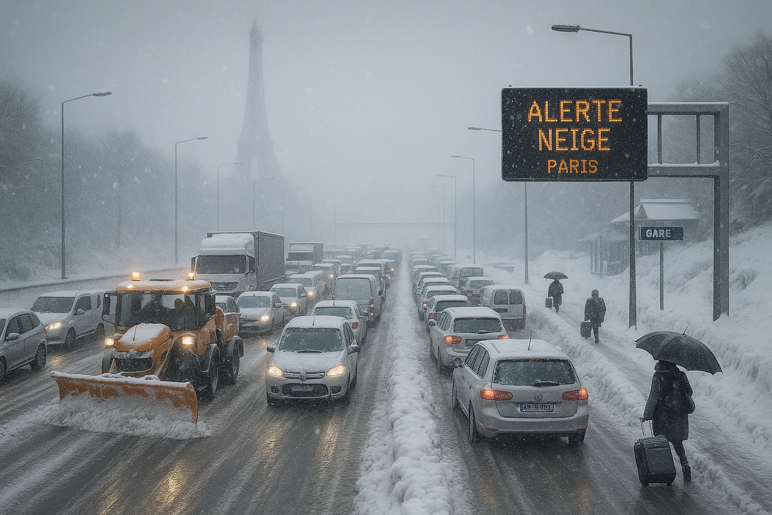
Snow-covered Paris highway gridlocked with stranded vehicles during France's intense cold wave, Eiffel Tower in snowy background.
Изображение, созданное ИИ

France cold wave: Widespread transport chaos as snow blankets west and Paris region

Сообщено ИИ Изображение, созданное ИИ

Following initial alerts and school closures in western France, the polar cold wave intensified on January 5, 2026, blanketing the west and Paris basin with heavy snow. Twenty-six departments on orange alert faced massive road, rail, and air disruptions, with authorities warning of slippery roads persisting into Tuesday.

An intense snow offensive hits France on Wednesday, with 38 departments on orange alert for snow and ice. Transport Minister Philippe Tabarot advises avoiding travel in Île-de-France and favoring telework. Deadly accidents and transport disruptions already mark the current episode.

Сообщено ИИ

The snow and freezing rain episode, ongoing since January 5, 2026, intensified across northern and western France on January 7, leading to severe transport disruptions and record emergency room visits for ice-related injuries. Following initial orange alerts for 38 departments, Météo-France reduced them to 12 as accumulations hit 3-7 cm (up to 10 cm locally). Transport Minister Philippe Tabarot criticized forecast underestimations amid the chaos.

После обильных снегопадов и массовых транспортных сбоев в начале недели шторм Элли прошёл по Германии мягче, чем ожидалось, большинство железнодорожных услуг восстановлено к воскресенью. Надвигающееся низкое давление Гунда теперь угрожает замерзающим дождём и тяжёлой гололедицей по всей стране, что привело к закрытию школ в понедельник в нескольких землях.

Сообщено ИИ

Немецкая служба погоды (DWD) предупредила о замерзающем дожде и сильных снегопадах в некоторых частях Германии, которые могут значительно нарушить движение в понедельник. Гололёд особенно угрожает в Саксонии, Бранденбурге и Берлине, тогда как на юге ожидается до 25 см свежего снега. Водителям и commuterам следует ожидать сбоев.

Catalonia's Civil Protection has activated the Neucat plan on alert phase due to intense snowfalls affecting the Pyrenees this Saturday. The snow level is above 800 meters, with accumulations exceeding 10 centimeters above 900 meters and up to half a meter from 1,500 meters. Drivers are urged to take extra precautions amid avalanche risks and road closures.

Сообщено ИИ

Последствия шторма Элли вышли за пределы первоначального воздействия на Шлезвиг-Гольштейн и распространились на север и восток Германии, вызвав массовые закрытия школ, продолжающийся хаос на железных дорогах вокруг Ганновера и прогнозы 10-20 см снега в южных регионах в субботу. Порывы ветра в Северном море и досрочное возвращение круизного лайнера добавляют проблем.


Этот сайт использует куки

Мы используем куки для анализа, чтобы улучшить наш сайт. Прочитайте нашу политику конфиденциальности для дополнительной информации.
Отклонить