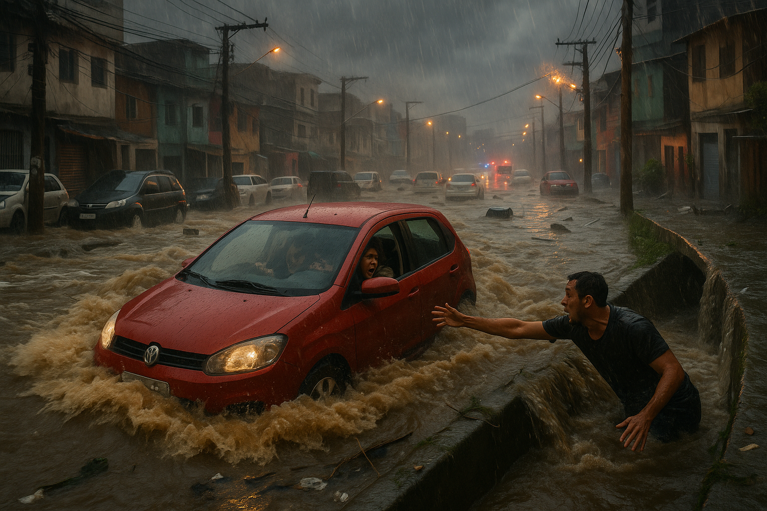
An atmospheric river unleashed historic flooding in Washington state starting December 8, prompting a state of emergency and evacuations for 100,000 people. Low snowpack and burn scars from recent wildfires exacerbated the deluge, linking the event to climate change. Officials warn of more rain from additional storms this week.
At the start of December, a moisture-laden atmospheric river stretched from the subtropical Pacific to the U.S. West Coast, drawing from elevated sea surface temperatures. It made landfall on December 8, dumping torrential rain across the Pacific Northwest for nearly a week. A second atmospheric river followed, with a third expected later in the week.
Washington Governor Bob Ferguson declared a state of emergency on Wednesday, issuing evacuation alerts to 100,000 residents. Thousands in western Canada also evacuated. Up to 18 inches of rain fell in parts of western Washington, causing rivers to overflow, closing or damaging at least 30 major roads, and necessitating 250 water rescues.
"The flooding levels we’re looking at are potentially historic in nature," Ferguson stated at a Thursday press conference.
Climate change plays a key role, as a recent study shows atmospheric rivers have grown wetter, larger, and more frequent since 1980. Warmer air holds more moisture, turning routine rains into extreme events. This year, unusually warm temperatures across the western U.S. resulted in low snowpack from British Columbia to California. The warm rain that fell was intensified by these conditions.
Chris Gloninger, a senior climate scientist at the Woods Hole Group, noted that such warmth "would be statistically impossible without the human influence of anthropogenic climate change."
The scant snowpack worsened the flooding. Daniel Swain, a climate scientist at the University of California Agriculture and Natural Resources, explained in a Friday livestream: "If you have some snow but it’s not very significant, if you get a really heavy prolonged warm rain event, you actually can melt the whole snowpack in one go." He added, "That’s very likely exactly what we saw during this Pacific Northwest flood event."
In Index, Washington, resident Chad Magby watched the North Fork River rise from his cabin. Unlike past floods in 2006 and 2015, this one trapped him and about 150 locals due to debris-blocked roads from the 2022 Bolt Creek Fire's burn scar, which increased mudslide risks.
"What was different about this one is the feeling of being trapped," Magby said. "There was no way to leave."
Preceding drought conditions amplified the impact; Washington issued its third consecutive drought declaration, and the Colorado River Basin faced extreme dryness. Despite potential normal yearly rainfall by year's end, the concentration in short bursts poses severe risks.
Gloninger observed: "You’re getting so much rain in just one event and that’s how you’re maybe getting an average season on paper... But when you pull back the layers... it’s extremely troublesome."
More storms could bring at least 8 inches of additional rain to western Washington in the coming days.
